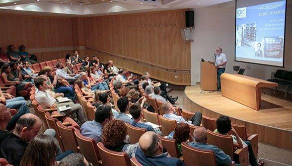
סמינר-מחלקתי-ביה"ס-להנדסה-מכאנית-Shaul Badosa and Nitzan Neaman
SCHOOL OF MECHANICAL ENGINEERING SEMINAR
Wednesday, November 2, 2016 at 15:00
Wolfson Building of Mechanical Engineering, Room 206
Rainfall-Runoff Model for Urban Watersheds in Israel
Nitzan Ne'eman
MSc. Student of Yaakov Anker1, Itzhak Benenson2 and Gregory Zilman3
1 Samaria and the Jordan Rift Regional R&D Center
2 Department of Geography and Human Environment, TAU
3 School of Mechanical Engineering, TAU
Runoff is precipitation that did not get absorbed into the soil, or did not evaporate. Runoff can lead to uncontrolled surface streams flowing over land, to soil erosion, to water pollution and to floods. Runoff depends on the amount of rainfall, permeability of the ground surface and vegetation. Modern urbanization leads to creating large surface areas covered by hardly penetrable asphalt and concrete, which strongly affects the permeability of the ground surface. To estimate the consequences of urbanization on runoff the so-called "rainfall-runoff" mathematical models are generally used. The input of any rainfall-runoff mathematical model is an estimated rainfall, and the output is an estimated runoff discharge varying with time, the so-called hydrograph. The spatially distributed grid based Soil Conservation Service curve number (SCS-CN) method and the modified Clark unit hydrograph (ModClark) are commonly used to simulate the runoff for large and natural watersheds.
The goal of this study was to verify the applicability of the gridded SCS-CN and ModClark methods for small urban watersheds. This task implies the existence of high-resolution digital elevation models and land used classification. However, typically, such data does not exist. I created the required database from the information available in the municipality engineering departments. The input parameters for the selected methods include recorded precipitation data, an accurate Digital Elevation Model (DEM) of the urban topography, a detailed land use classification, soil type, antecedent moisture condition and a description of the watershed's flow paths.
For the purpose of this study the city of Ariel was selected because of its hydrologic database of monitored runoff discharge since 2006. Initially, the selected "rainfall-runoff" mathematical model was used to estimate the antecedent moisture condition parameter fitting the soil moisture response in a domestic climate using input data on a small urban watershed in Ariel. Then the model was applied to two larger watersheds in Ariel including both urban and natural flow paths. According to the Moriasi's criteria, the used mathematical model predicts the runoff depth and the peak discharges with 10% accuracy approximately and the general hydrograph's shape with Nash-Stucliff efficiency coefficient in the range 0.55-0.90.
School of Mechanical Engineering Seminar
Wednesday, November 2, 2016 at 15:00
Wolfson Building of Mechanical Engineering, Room 406
BI-MODAL SENSING FOR BRAIN-INSPIRED
SIMULTANEOUS LOCALIZATION AND MAPPING
Shaul Badusa
MSc Student of Dr. Gábor Kósa
One of the most fundamental tasks in the robotic field is simultaneous localization and mapping (SLAM). The ability of a robot to build a map of its environment and simultaneously locate itself in that map is crucial to being able to function autonomously. A novel approach to solve this problem is the "Bi-modal brain–inspired SLAM." This new approach suggests localization and mapping with bio-inspired methods and sensors: initially, introducing the full design of a mobile robot equipped with bio-sonar and a camera on a rotating sensing unit; continuing with the signal process from each sensor. The signal process presents a new approach to sonar signal processing. In addition to traditional range finding analysis, this process includes bio-inspired spectral analysis on the returning echoes.
As in nature, the robot does not only rely on a single sensor for SLAM. The processed data from the sensors fuse together to provide a more robust and accurate solution. This fusion derives benefit from each sensor and improves the data. This fusion also makes the localization and mapping process possible in the absence of one of the sensors.
This suggested mapping process presents another form of mapping: brain-inspired. Similar to mammals, the map is a nodes-based map (neurons). The acquired data sets characterize specific locations and are used, later on, for localization with an adjustment score.
This process is a hybridization and adjustment of multiple well-known SLAM approaches, such as the EKF, "scan matching" and bio-inspired SLAM, in addition to new data-analyzing tools and new mapping perceptions.


